
RustGIS
A fast, free and open-source GIS in pure Rust for mapping, analyzing and sharing geospatial data, on the desktop and in the browser
RustGIS launched on 10 October 2026. It ranked #154 on Daily Launch on 30 October 2026 with a Launch Score of 3, from +32 stars today on GitHub. It was new in the ranking that day.
What is RustGIS?
Every screenshot is RustGIS itself, rendered offscreen by cargo run -p rustgis-ui-egui --example uishot. The user guide covers each area in detail, Comparison sets RustGIS beside GeoLibre, QGIS and ArcGIS, and ROADMAP.md lists what's next. Command line: every ribbon action is a command with an id.
From its README on GitHub
RustGIS is a repo by opengeos on GitHub. It is written in Rust and released under the Apache-2.0 license.
How to get RustGIS
Get it from its repository on GitHub.
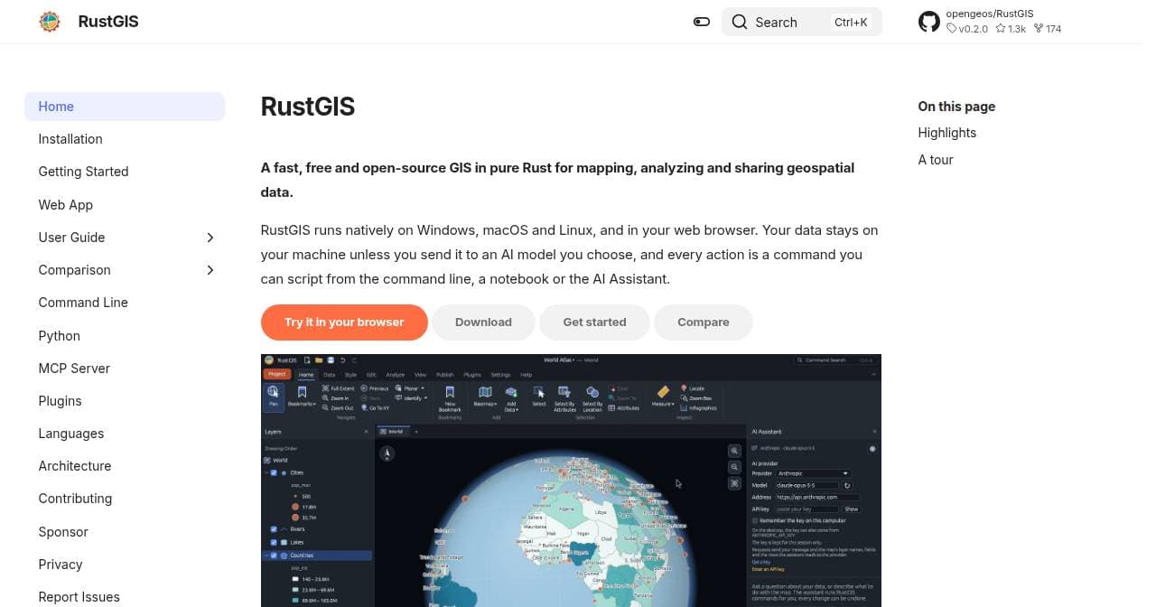
Screenshot of rustgis.app
Launch timeline
Launch Score, last 7 days
Ranked on one day so far: 3 of 100 on 30 October.
